I will do professional gis mapping and spatial analysis using qgis, arcgis, and gee

P
paul_mghenyi
P
paul_mghenyi
Paul Mghenyi

About this gig

Need accurate, professional GIS maps that tell a clear spatial story?

Whether you're in urban planning, environmental monitoring, agriculture, or logistics, I deliver high-quality GIS mapping and spatial analysis tailored to your project.


What I offer:

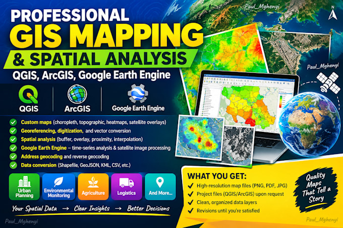
  • Custom maps (choropleth, topographic, heatmaps, satellite overlays)
  • Georeferencing, digitization, and vector conversion
  • Spatial analysis (buffer, overlay, proximity, interpolation)
  • Google Earth Engine time-series analysis and satellite image processing
  • Address geocoding and reverse geocoding
  • Data conversion between formats (Shapefile, GeoJSON, KML, CSV, etc.)


Why me: I work with QGIS, ArcGIS, Google Earth Engine, and OpenStreetMap to deliver professional results. Every map is clear, publication-ready, and backed by sound spatial reasoning.


What you get:

  • High-resolution map files (PNG, PDF, JPG)
  • Project files (QGIS/ArcGIS) upon request
  • Clean, organized data layers
  • Revisions until you're satisfied


Order now and let's bring your spatial data to life.

Get to know Paul Mghenyi

Paul Mghenyi

Geospatial Data Analyst

  • FromKenya
  • Member sinceSep 2026
  • Languages

    Swahili, English
I am a Geospatial Data Analyst with expertise in GIS mapping, remote sensing, and data visualization. I transform complex spatial and environmental data into actionable insights using tools like QGIS, ArcGIS, Google Earth Engine, and Excel. My work helps researchers, businesses, and decision-makers uncover hidden patterns and make data-driven decisions with confidence. Let me turn your data into clarity.