GIS Mapping, Spatial Data and Dashboard Specialist
Ghana
English
About me
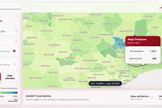
I help clients turn messy location and programme data into clear maps, dashboards and reports. I work with QGIS, ArcGIS Pro, Google Earth Engine, KoBoToolbox, Excel, MapLibre and Chart.js. My work covers GIS mapping, spatial analysis, remote sensing, data cleaning, field data forms, web maps and evidence packs. I have supported projects in public health, urban planning, transport safety, environmental risk and donor-funded programme delivery. Clear data, clean visuals and reliable communication are what I focus on.... Read more