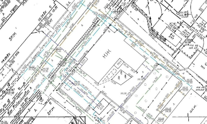
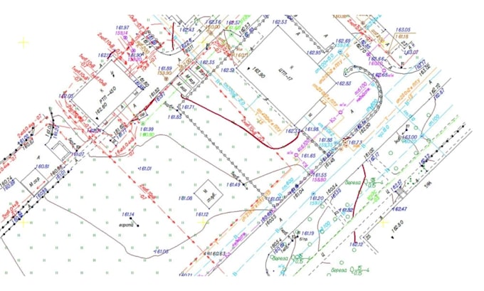
I help clients turn survey data, sketches, coordinates, and existing plans into clear, accurate, and professional drawings they can confidently use for planning, design, construction, and property development. I provide land survey drafting, site plans, boundary plans, topographic drawings, grading plans, contour maps, and CAD conversion using AutoCAD and Civil 3D. My focus is on saving you time, reducing drawing confusion, and delivering organized plans that are easy to review, present, and work with.... Read more