Browse categories
English
$
USD
Connect to your AI



Clear maps and clean spatial data for planning, environment and infrastructure projects.
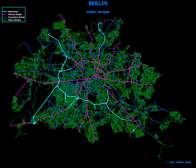
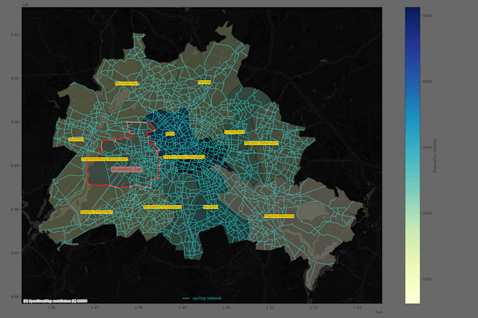
I provide GIS mapping, spatial analysis and cartography with QGIS and ArcGIS for urban planning, environmental monitoring and GIS database cleaning. I analyze spatial data, fix geometry errors and create professional maps for reports and presentations.
Services I offer
Urban planning
Environmental
Data management
What you get
Message me first with your data and goal so I can confirm scope and give you an accurate delivery time.
GIS Analyst
Languages