Browse categories
Explore
Fiverr Pro
English
$
USD
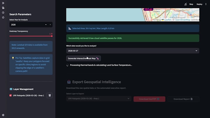
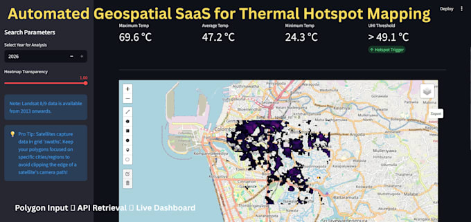
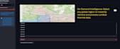
I am a Geospatial Developer specializing in Python pipelines that turn raw satellite imagery into interactive intelligence. Whether monitoring climate trends, urban heat, or infrastructure, I build the custom tools to do it instantly.
What I Offer:
Why Choose Me? I merge a background in Earth Resources Engineering with full-stack Python dev. You aren't just getting a static map; you're getting a scalable software solution.
️ PLEASE MESSAGE ME BEFORE ORDERING to discuss your specific data needs. Let's build something powerful.

Technology:
Excel
•
Google Sheets
•
Python
•
Other