Browse categories
Explore
Fiverr Pro
English
$
USD
Data engineer specialized in geospatial data
What you get
Most GIS file conversions fail silently wrong projection, broken geometries, garbled field names, or a 200 MB file that freezes a web map. I don't just convert your file. I check it, fix it, and hand it back in a state you can actually use.
Every order includes:
- Format conversion between any major GIS format
- CRS detection and reprojection
- Geometry validation and repair if needed
Standard and Premium orders add schema cleanup, a PDF conversion report, and web-ready output.
Formats supported
Shapefile (.shp), GeoJSON, GeoPackage (.gpkg), KML, FlatGeobuf (.fgb), GML, GPX, DXF, CSV with coordinates.


Technology:
Python
Expertise:
Data manipulation
•
Transformation
What file formats do you support?
Shapefile (.shp), GeoJSON, KML, GeoPackage (.gpkg), FlatGeobuf (.fgb), GML, GPX, DXF, CSV with coordinates, and more. Message me if you have a different format. I can likely handle it.
What is CRS reprojection and do I need it?
CRS (Coordinate Reference System) defines how coordinates map to the real world. If your file needs to be in a specific system (e.g. EPSG:4326 for web maps, or a local projection), I reproject it during conversion. If you're not sure, send me the file and I'll check.
What is geometry repair?
Some files contain invalid geometries such as self-intersecting polygons, unclosed rings, or duplicate vertices. These cause errors in GIS tools and web maps. I detect and fix them automatically using a topology-preserving repair method.
My file is larger than the package limit. Can you still help?
Message me before ordering and I'll let you know if I can accommodate it or suggest the right package.
Do you need access to my systems or database?
No. Just send me the file directly through Fiverr. No remote access needed.
What is web-ready output?
A package optimized for web mapping: reprojected to WGS84, geometry simplified to reduce file size, and property names cleaned up for use in JavaScript. For large datasets, I can also deliver as PMTiles, a single-file vector tile format that works directly from a CDN with no server.
What is a conversion report?
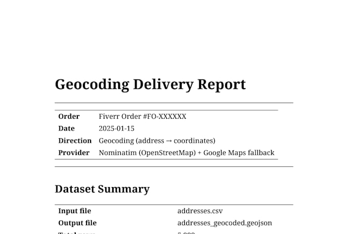
A one-page PDF delivered alongside your file. It documents the input and output file details, CRS, row count, geometry type, validity check result, and file size before and after. Useful if you need to document data provenance for a project.
What is simplification and will it affect accuracy?
Simplification reduces the number of vertices in geometries to shrink file size. I use topology-preserving simplification with configurable tolerances. For most web maps at city or country scale, the difference is invisible. I'll recommend the appropriate level based on your use case.