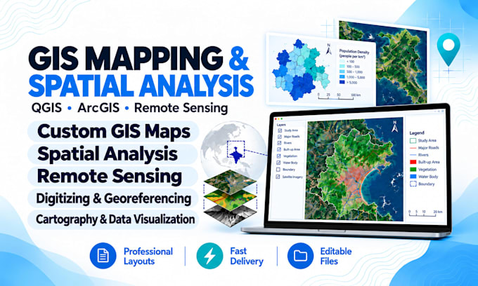
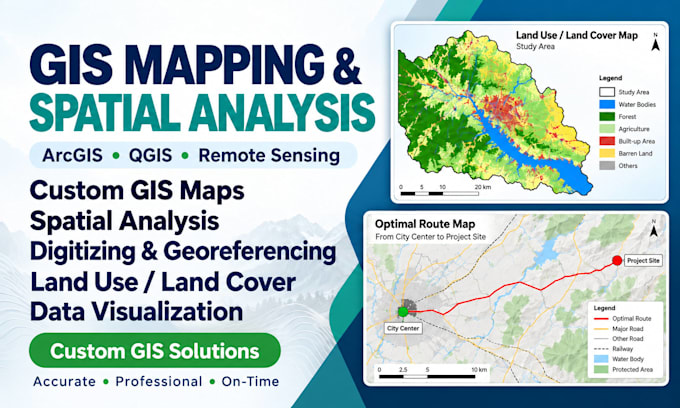
I'm a geospatial specialist focused on turning complex location data into accurate, practical solutions. I work across GIS mapping, spatial analysis, remote sensing, professional cartography, geospatial data management, WebGIS, and GIS automation. Using QGIS, ArcGIS, Python, and modern web mapping technologies, I create clear maps, insightful analyses, interactive applications, and well-structured datasets tailored to each project. I combine technical precision with thoughtful problem-solving, clear communication, and a commitment to work that serves your goals. Let's discuss your project.... Read more