Browse categories
Explore
Fiverr Pro
English
$
USD

Level 1
1 order in queue

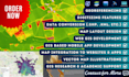


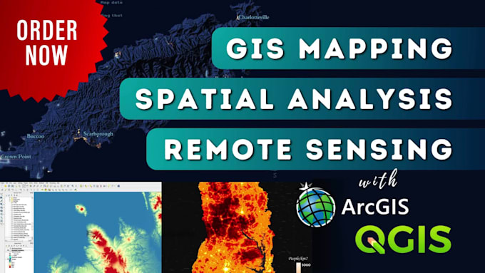
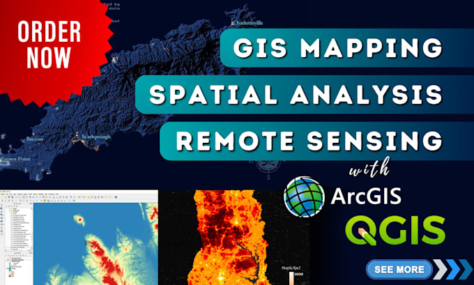
Your GIS Mapping Partner..!
Looking for professional GIS Mapping, Spatial Analysis, or Remote Sensing services with ArcGIS or QGIS?
I deliver accurate, visually appealing GIS maps, perform advanced spatial analysis, and remote sensing using QGIS and ArcGIS Pro to meet your needs.
My GIS Mapping and Spatial Analysis Services:
GIS Mapping in QGIS, ArcGIS Pro
Thematic Maps (Population, Climate, Land Use)
Cadastral Maps (Property Boundaries, Zoning), etc.
Spatial Analysis in QGIS, ArcGIS Pro
Buffer/ Proximity/ Overlay/ Density/ Suitability/ Network/ Watershed Analysis, etc.
Remote Sensing in QGIS, ArcGIS, ERDAS
Satellite Image Classification, NDVI, Change Detection, etc.
Data Processing in QGIS, ArcGIS
Georeferencing, Digitizing, Attribute Editing, Format Conversion, etc.
Custom Interactive Web GIS Mapping
Interactive web map solutions using Mapbox, Leaflet, Google Maps.
Why Choose My GIS Mapping Expertise?
Proficient in ArcGIS Pro, QGIS, Mapbox, and Leaflet.
High-quality GIS maps.
On-time delivery and 100% client satisfaction.
Excellent communication.
Affordable prices.
Let's bring your spatial ideas to life with GIS mapping and advanced spatial analysis!
GIS Analyst, WebGIS Developer, Map Illustrator
Level 1
Languages
How do I get started with my GIS map project?
To begin your GIS mapping project, simply contact me via Fiverr’s messaging platform to discuss your requirements, including map type, area of interest, data availability, and any specific needs of the GIS project.
What information do you need to start working on my project?
To get started, I need a detailed description of your project, including the project’s objectives, available data, and any specific requirements or preferences you have. This helps me customize my services to deliver optimal results for your specific needs.
How long does it typically take to complete a GIS project?
The timeline for completing a GIS project depends on its complexity and scope. After reviewing the details of your project, I’ll provide an estimated completion time, keeping you informed every step of the way.
Can you perform GIS mapping and spatial analysis for specific industries or niche markets?
Yes! I specialize in creating custom GIS maps for various industries such as environmental science, urban planning, agriculture, logistics, real estate, and more. Whether for scientific research, business purposes, or specialized niche markets, I design maps that suit your industry’s unique needs.
Can you assist with data collection and sourcing if I don’t have the required GIS data?
Absolutely! If you lack the necessary geospatial data, I can help with data collection and sourcing. With access to reliable data sources, I will assist you in obtaining the required data for your GIS map project, ensuring accuracy and relevance for your needs.
Can you incorporate my branding elements into the GIS maps?
Yes, I can seamlessly incorporate your branding elements, such as logos, colors, and fonts, into the GIS map design. This ensures the final maps align with your company’s visual identity and branding strategy for consistency across all materials.
Do you offer discounts for bulk orders or long-term GIS projects?
Yes, I offer discounts for bulk orders or long-term GIS projects. The discount rate will depend on the scope and duration of your project. Contact me to discuss your requirements, and we can tailor a pricing package to meet your needs.
Can I request revisions to the GIS maps?
Absolutely! I offer a revision period with each package to ensure you are fully satisfied with the final GIS maps. The number of revisions included depends on the selected package. If you need additional revisions, we can discuss them on a case-by-case basis.