Browse categories
Explore
Fiverr Pro
English
$
USD
GIS and Remote Sensing Specialist
Skills

See my services
GIS Analyst (Ursa Space Systems)
Contractor • Full-time
May 2022 - Aug 2025 • 3 yrs 3 mos
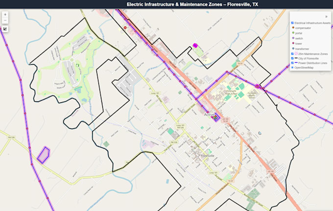
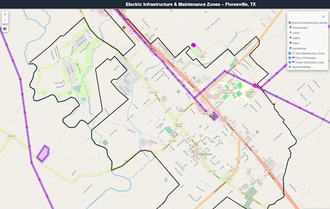
Worked as a Geospatial Analyst supporting government and commercial geospatial intelligence projects, with a focus on satellite imagery, GIS analysis, remote sensing, and geospatial data management. Applied ArcGIS Pro, Python, and other geospatial tools to analyze and process spatial datasets, automate repetitive workflows, perform quality control, and develop accurate geospatial products. Supported projects involving satellite imagery and geospatial intelligence, including analysis of terrain, infrastructure, transportation networks, and other geographic features. Collaborated with technical teams to solve complex geospatial problems and deliver reliable, mission-focused analytical products.
GIS Research Assistant
NASA • Part-time
Jul 2020 - Oct 2020 • 3 mos
Supported a geospatial change detection project conducted by GISCorps nd NASA analyzing human activity across major cities worldwide before and after COVID-19 lockdowns. Worked with Synthetic Aperture Radar (SAR) and Electro-Optical (EO) imagery to identify and assess changes in patterns of human activity and urban environments. Assisted with imagery analysis, interpretation, and geospatial data processing to support comparative assessments of pre-lockdown and post-lockdown conditions. This experience strengthened my skills in remote sensing, SAR and EO image interpretation, change detection, spatial analysis, and extracting meaningful insights from complex geospatial datasets.

GIS Research Assistant
Arizona State University • Part-time
May 2020 - Aug 2020 • 3 mos
During my internship with Arizona State University, I gained hands on experience applying GIS and geospatial technologies to real world research and analytical projects. I worked with geospatial datasets, performed spatial analysis and data management, and supported mapping and visualization efforts while developing practical experience with GIS workflows. The internship strengthened my ability to analyze complex geographic information of aerial imagery data, maintain data accuracy and apply GIS concepts to any given product. This experience provided an important foundation for my subsequent professional work in GIS and geospatial analysis.
