Browse categories
Explore
Fiverr Pro
English
$
USD

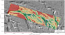
Need clear geospatial evidence for a land, agriculture, environmental, or groundwater-screening decision?
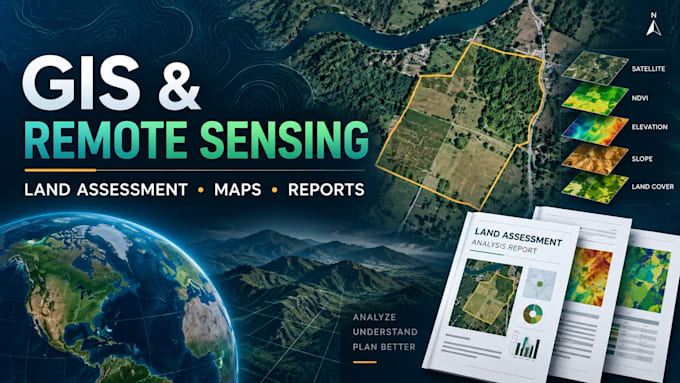
I create professional GIS and remote sensing maps that turn parcel boundaries, satellite imagery, terrain, drainage, geology, and available spatial data into practical decision ready outputs.
Depending on your package, your project may include:
Parcel and location mapping
Satellite-image interpretation
Terrain, slope, and drainage analysis
Land-suitability or environmental screening
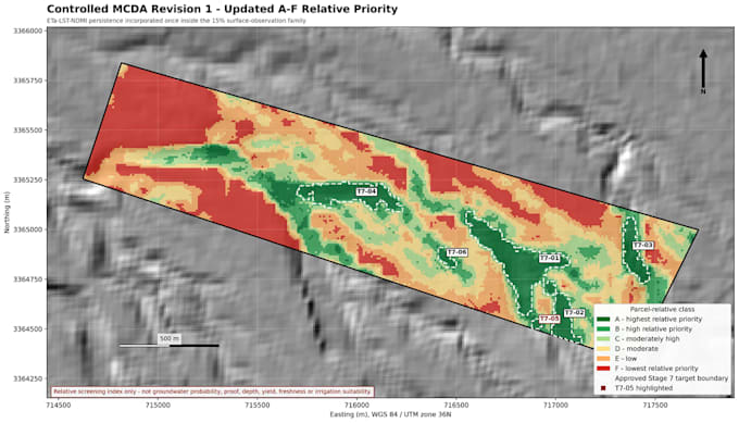
Multi-criteria priority mapping
Ranked investigation zones
Desktop ERT survey planning
English or Arabic PDF reporting
Every map includes clear labels, legend, scale, north arrow, and explanatory notes. I document important assumptions, data gaps, and limitations so the result remains useful without overstating what remote sensing can prove.
Independent GIS and Remote Sensing Analyst
Languages
1. What information do you need to start?
Please provide the site location and boundary as coordinates, KML, KMZ, shapefile, CAD file, survey plan, or clearly marked map. Also explain your objective and preferred deliverables.
2. Can remote sensing confirm groundwater or drilling success?
No. This is a desktop screening service that identifies priority areas for further investigation. Groundwater presence, depth, yield, and drilling success require field geophysics, hydrogeological review, and drilling.
3. Which data sources will you use?
Depending on location and availability, I may use client data, satellite imagery, elevation and terrain data, drainage, geology, land cover, moisture indicators, and other appropriate open geospatial sources.
4. Can you deliver the report in Arabic?
Yes. Maps and reports can be delivered in English or Arabic. Please specify your preferred language before ordering.