Browse categories
Explore
Fiverr Pro
English
$
USD

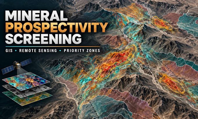
I provide preliminary mineral prospectivity screening using GIS, remote sensing, and publicly available geoscience data.
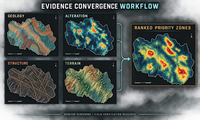
The assessment may integrate geological maps, satellite imagery, alteration indicators, structural lineaments, faults, drainage, terrain, known mineral occurrences, and client-supplied geochemical or geophysical data when available. Relevant evidence layers are reviewed, standardized, and combined to identify areas where multiple exploration indicators converge.
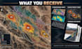
You will receive:
Three professional GIS maps
Ranked prospectivity or priority zones
Explanation of the datasets and screening criteria
Concise technical PDF report
One revision
This service supports early-stage exploration planning, target prioritization, land review, and field-investigation design. Please contact me before ordering for large study areas, unusual commodities, limited datasets, or specialized deliverables.
Important: This is a desktop screening assessment. It does not confirm the presence, grade, quantity, economic viability, or ownership of minerals.
Independent GIS and Remote Sensing Analyst
Languages
Can this assessment confirm that minerals exist?
No. It identifies areas with stronger combinations of geological and remote-sensing indicators. Mineral presence, grade, quantity, and economic viability require field verification, sampling, laboratory analysis, and potentially geophysical surveys or drilling.
Which mineral commodities can you screen for?
The workflow can be adapted to commodities such as gold, copper, iron, manganese, phosphate, and other targets when suitable geological and satellite indicators are available. Please contact me before ordering so I can evaluate data suitability.
What data sources will you use?
Depending on availability, I may use public geological maps, multispectral satellite imagery, elevation and terrain data, structural lineaments, faults, mineral-occurrence records, and any reliable geochemical, geophysical, or boundary data you provide.
What will I receive?
You will receive three professional maps, ranked preliminary priority zones, a concise technical PDF report explaining the datasets and method, and one revision. Editable GIS files can be discussed before ordering.