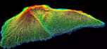
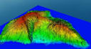
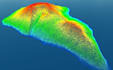
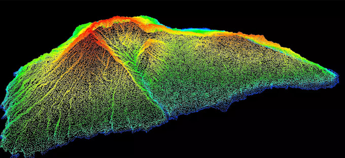
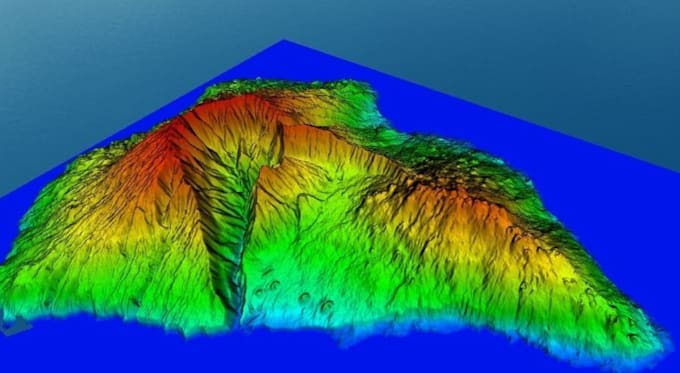
I will create high resolution terrain model, elevation map, land survey, 3d topography

S
samlpuel
S
samlpuel
samipuel

About this gig

Hello Amazing Buyer!!!

Did you need accurate and professional 3D terrain visualization, elevation mapping, or topographic modeling for your project?


I will create high-resolution terrain models and 3D topography from your available elevation, survey, GIS, CAD, LiDAR, DEM, point cloud, or other compatible terrain data.


My services include:

  • High-resolution 3D terrain modeling
  • Digital elevation model (DEM) visualization
  • Elevation and topographic maps
  • Contour and terrain visualization
  • Land survey data visualization
  • 3D topography modeling
  • Terrain mesh creation
  • Custom terrain presentation renders
  • Clean and professional visualization for presentations


You can provide: DEM, CSV, XYZ, ASC, GeoTIFF, LiDAR, point cloud, CAD/DWG, or other suitable terrain data.


Deliverables can include: high-resolution images, 3D terrain models, and commonly requested formats such as OBJ, STL, FBX, or GLB, depending on your project requirements.


Please contact me before ordering so I can review your terrain data, project requirements, and desired output and recommend the most suitable package.


Delivery style preference

Please inform the freelancer of any preferences or concerns regarding the use of AI tools in the completion and/or delivery of your order.

Get to know samipuel

samipuel

where imagination turns to reality

  • FromUnited Kingdom
  • Member sinceAug 2026
  • Avg. response time1 hour
  • Languages

    English, Swedish, Spanish, Portuguese, Romanian, Arabic, Italian
I’m a professional 3D terrain and GIS visualization specialist focused on creating high-quality terrain models, topographic maps, elevation data, CGI landscape renders, UAV/drone mapping, satellite imagery processing, and 3D orthophotos. I work with DEM, LiDAR, point clouds, GIS, CAD, and other geospatial datasets to produce accurate, detailed, and presentation-ready results. My goal is to deliver clean visualizations and reliable 3D outputs tailored to each project’s requirements.