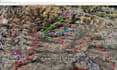
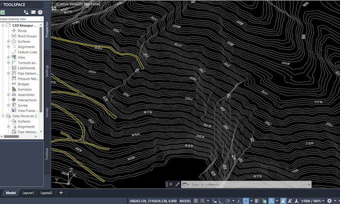
I will draw contours, topography map, dem from google earth to autocad and or civil 3d
S
S
saqib699
Full Screen
Full Screen
Full Screen
About this gig
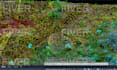
I can make Contours, profiles, using Google Earth Pro, Autocad, Civil3d and related softwares for engineering and survey based projects, will give my best services related to work.
Topomaps
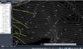
Google Earth data to Autocad
Autocad data to Google Earth
Kmz and Kml files to Civil 3d
DEM processing
Point cloud data to Civil 3d and Contours map
task on demand
please discus before ordering. Thanks.
Tool
Google Earth Pro
Get to know saqib699
saqib699
FromPakistan
Member sinceFeb 2021
Languages
English
I am Saqib, I have done Associate Engineering Diploma, Civil Survey Diploma and AutoCad courses. I have good knowledge of Autocad, Civil 3d, Revit, Google Earth Pro, Global Mapper software, Excel, Word, Photoshop and other useful softwares. I am good at Topographic maps, Urban Planning, Road Designing, Earth Volume Calculation, Grading, Earthwork Quantities Cut & Fill and other related work.