Browse categories
Explore
Fiverr Pro
English
$
USD



Need a clear, accurate map for your research, thesis, report or project? I create professional GIS maps and spatial analysis using ArcGIS.
I worked as a research assistant at Bangladesh University of Engineering and Technology (BUET) and Patuakhali Science and Technology University (PSTU), handling large GIS datasets for disaster risk, climate resilience and urban safety research.
What I can do for you:
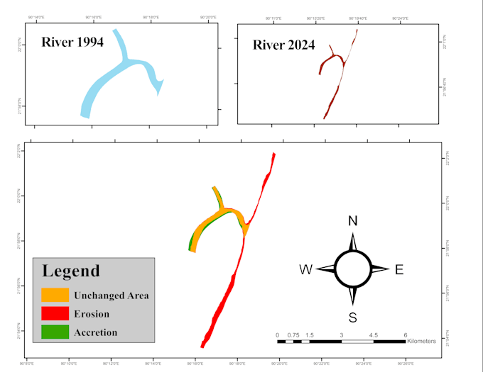
- Thematic and study area maps with legend, scale bar and north arrow
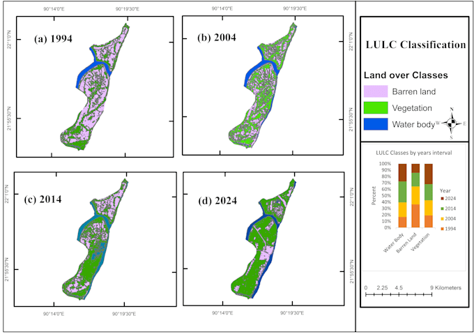
- Land use / land cover (LULC) maps from satellite images
- Shapefile clipping, digitizing and georeferencing
- Spatial data cleaning and basic spatial analysis
- Map layouts ready for thesis, journal papers and reports
What I need from you: your data (shapefile, GeoTIFF or Excel with coordinates), your study area and any style preference.
You will receive: high-resolution JPG, PNG or PDF maps.
Message me before ordering with your requirements.
Work as a Professional Worker
Languages
Which software do you use?
I work in ArcGIS (ArcMap 10.8.2). Final maps are delivered as JPG, PNG or PDF, and GIS files are available on request.
Can you work with my own data?
Yes. Send shapefiles, GeoTIFF or an Excel sheet with coordinates. If you have no data, tell me your study area and I can use free public sources where available.
Do you make land use land cover maps?
Yes. The Premium package covers LULC classification from free satellite imagery such as Landsat, plus an area statistics table.
Can I use the maps in my thesis or paper?
Yes, delivered maps are yours to use. Please cite the original data sources in your work.