Browse categories
Explore
Fiverr Pro
English
$
USD
Welcome to my Satellite Remote Sensing & Geospatial Analysis Gig!
I transform raw satellite data and spatial datasets into clear, actionable insights for research, environmental monitoring, and urban planning.
Services Offered:
Satellite Processing: Sentinel-1 (SAR), Sentinel-2, Landsat, and MODIS.
Google Earth Engine (GEE): Automated workflows, time-series analysis, and clean JS/Python scripting.
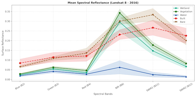
Spectral Indices: NDVI, NDWI, EVI, NDMI, and vegetation/water dynamics.
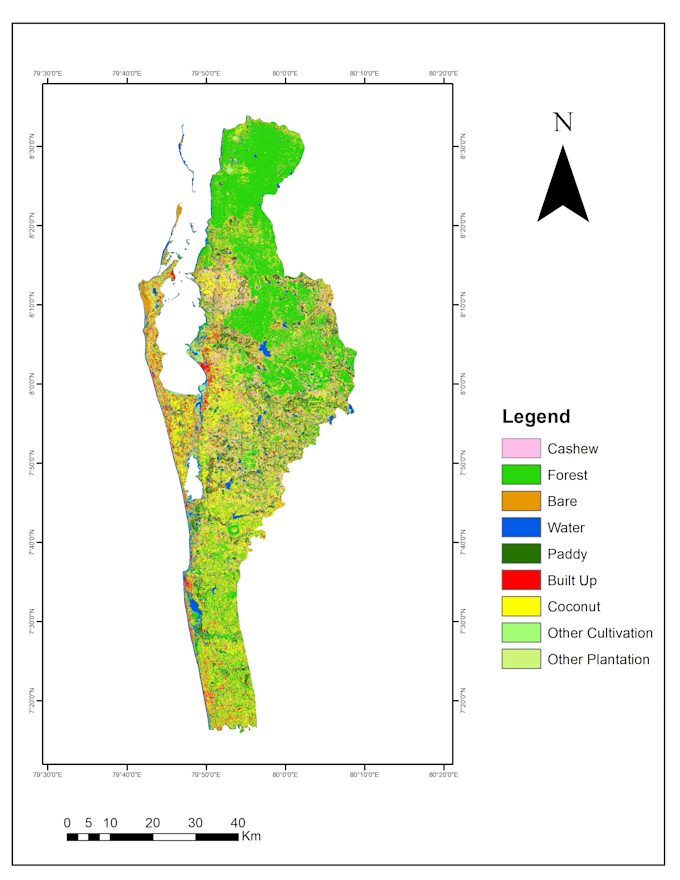
LULC Classification: Supervised Machine Learning (Random Forest, SVM) with accuracy assessment.
SAR & Hydrology: Flood inundation mapping and reservoir surface water spread monitoring.
Deliverables: Publication-ready maps (PDF/PNG), GeoTIFFs, shapefiles, and source code.
Tools:
Google Earth Engine (GEE) | ArcGIS Pro | QGIS | ESA SNAP | Python
Why Choose Me?
Sound scientific methodology with strict CRS and projection accuracy.
Clear communication, reproducible code, and fast delivery.
Please contact me with your Area of Interest (AOI) and timeline before placing an order!


What details do I need to provide to start?
Please provide your Area of Interest (AOI) as a Shapefile, KML/KMZ, or coordinate bounding box, along with your desired study time period and required indices or outputs.
Can you handle cloud-covered areas?
Absolutely. I utilize automated cloud-masking algorithms for optical data (Sentinel-2/Landsat) and leverage Sentinel-1 Synthetic Aperture Radar (SAR) data, which penetrates through cloud cover and operates in all weather conditions.
In what formats will I receive the final deliverables?
You will receive publication-ready map layouts (PDF, PNG, TIFF), analysis rasters (GeoTIFF), vector boundaries (Shapefile/GeoJSON), and summary statistical tables (Excel/CSV).