Browse categories
Explore
Fiverr Pro
English
$
USD
Forestry Engineer
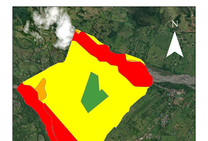
I create professional thematic maps in QGIS for engineering reports, academic projects, and technical documentation. Every map includes the standard cartographic elements expected in professional and academic work: scale bar, north arrow, coordinate grid, legend, and clean symbology built from real geographic data, for any location.
Typical use cases:
- Engineering reports (site location maps, land use, topography, infrastructure)
- Academic and thesis maps (geography, environmental science, planning)
- Administrative division maps (countries, states/departments, municipalities)
- Environmental and land-use thematic maps (soil, vegetation, hydrology, risk zones)
What I need from you:
- The area of interest (location name, coordinates, or a shapefile/KML if you have one)
- The theme or topic you want represented on the map
- How many maps you need and their intended use (report, thesis, presentation)
If you don't have geographic data, I can source it from public official/open databases when available.
Why work with me: I work in cartography and geospatial analysis for engineering and environmental projects in Colombia, with practical experience in ArcGIS, QGIS, and


Topic:
Engineering
•
Landscape design
Please inform the freelancer of any preferences or concerns regarding the use of AI tools in the completion and/or delivery of your order.