Browse categories
Explore
Fiverr Pro
English
$
USD

1 order in queue



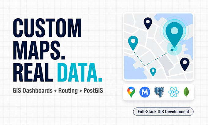
Need more than a basic Google Map on your website? I build highly custom geospatial web applications designed around your business and data.
Whether it's a logistics dashboard, real estate platform, territory management system or an internal GIS tool, I create secure, scalable solutions that are built to last. By saying custom, I really mean it. You can do micro customizations as you want.
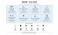
What I can build:
Tech Stack: React, Next.js, Tailwind CSS, FastAPI, Node.js, Go, PostgreSQL/PostGIS, MongoDB, Redis, Google Maps API, OpenStreetMap, Mapbox, Leaflet.
Every project is built with clean architecture, maintainable code and long term scalability in mind.
Send me a message before ordering so we can discuss your requirements and choose the best approach for your project.
Please be aware that it is against Fiverr's policies for sellers to include themes, templates, or any other elements that infringe third-party rights or applicable laws in the delivered work. Read more about in our Guide to Responsible Digital Creation.
Software Engineer
Languages
Why is it mandatory to message you before placing an order?
Geospatial software architecture is highly complex and unique to every business. Discussing your data sources, business logic, and workflow beforehand ensures we select the absolute best technical approach (e.g., choosing between Mapbox, OSM, or Google Maps).
What is the difference between a standard map plugin and what you build?
Standard map plugins are often restrictive, slow down your website, and require ongoing monthly SaaS subscriptions. I engineer bespoke, full-stack geospatial web applications from scratch, giving you advanced spatial logic and 100% ownership of your data and code with no recurring monthly fees.
Do you build the backend database as well, or just the frontend map?
As a full-stack developer, I build the entire end-to-end system. For the Standard and Premium packages, this includes setting up robust backend architectures utilizing Python/Node.js and spatial databases like PostgreSQL with PostGIS to securely manage and query your geographic datasets.
Can you integrate this spatial software into my existing React or Next.js application?
Yes! I specialize in modern web development frameworks. I can build standalone geospatial dashboards or seamlessly integrate complex Mapbox, Leaflet, or Google Maps API logic directly into your existing React or Next.js architecture.
How will I update the map data once the project is finished?
I build systems designed for easy maintenance. Depending on your package, your map will pull live data directly from a custom admin dashboard, your PostgreSQL database, or even a synced Google Sheet, meaning you can update locations instantly without writing a single line of code.