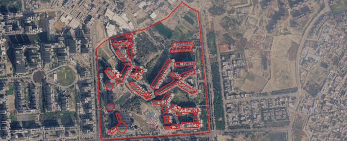
I am a Geospatial Data Specialist with deep expertise in QGIS, spatial analysis, and vector digitization. I specialize in converting raw satellite imagery, drone maps, and PDFs into highly accurate, topologically clean vector data (Shapefiles, GeoJSON, KML). Whether you need building footprints digitized, Urban Heat Island analysis, or precise georeferencing, I deliver publication-ready, mathematically accurate results with rapid turnaround times.... Read more