Browse categories
Explore
Fiverr Pro
English
$
USD


Professional GIS Mapping & Spatial Analysis using QGIS
Are you looking for high-quality, professional GIS maps and spatial data analysis? You are in the right place!
I am a GIS Specialist and Civil Engineer with 8+ years of experience in internationally funded projects. I transform complex spatial data into clear, publication-ready maps using QGIS and ArcGIS.
What I Offer:
Why Choose Me?
Please send me a message before ordering so we can discuss your project requirements.
Lets bring your spatial data to life!
AutoCAD Drafting and GIS Mapping Expert
Languages
What file formats do you provide?
I provide high-resolution PNG, JPEG, and PDF maps (300 DPI). If you need shapefiles (SHP), GeoPackage (GPKG), or KML files for GIS software, please let me know before ordering.
What data do you need from me to start?
I need your spatial data, such as an Excel/CSV file with Latitude and Longitude coordinates, or a shapefile. If you don't have data, I can also map specific locations based on your instructions.
Can you create custom map layouts for reports?
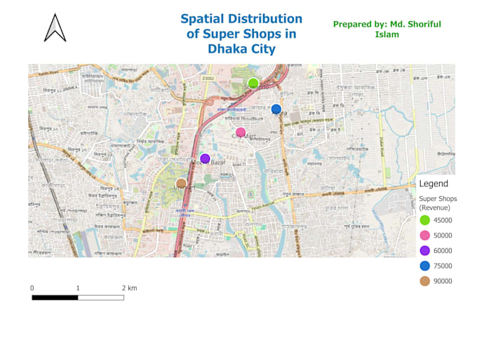
Yes! I specialize in creating professional layouts with titles, dynamic legends, scale bars, and north arrows, which are perfect for reports, presentations, and publications.