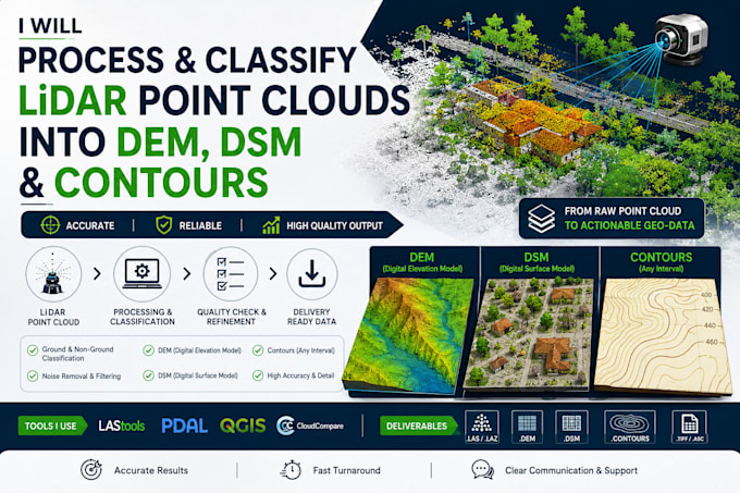
I will process and classify lidar point clouds into dem, dsm, and contours
Lidar Photogrammetry Engineer
About this Gig
I process raw LiDAR and photogrammetry-derived point clouds into clean, classified, analysis-ready outputs. This is core to my work in LiDAR perception engineering (sensor fusion, autonomous vehicle/robotics pipelines) and geospatial data engineering, so I'm comfortable with both survey-grade and drone-derived point clouds.
What you get:
- Point cloud cleaning, denoising, and georeferencing
- Ground/non-ground/building/vegetation classification
- DEM (bare-earth) and DSM (surface) generation
- Contour line generation at your chosen interval
- Export in LAS/LAZ, GeoTIFF, DXF, or your preferred format
Why work with me:
- Background spans both GIS point-cloud workflows and LiDAR perception for autonomous systems I understand the data at a lower level than a typical GIS generalist
- Python-based processing where useful, so large tiles/datasets don't have to be handled fully manually
How it works:
- Send your raw point cloud (LAS/LAZ/PLY/E57) and tell me the end use (terrain model, volume, visualization, etc.)
- I confirm point density, tile count, and output specs
- I clean, classify, and generate your deliverables
- You receive classified point cloud + DEM/DSM/contours in your requested format
My Portfolio
FAQ
Do you accept drone-derived point clouds (not survey LiDAR)?
es, both are fine — just tell me the source.
Can you do change detection between two point clouds/dates?
Yes, scope this as a custom order — pricing depends on tile count.
What software do you use?
A mix of open-source point cloud/GIS tools and custom Python (I built a multiprocessing raster pipeline for exactly this kind of large-file work).