Browse categories
Explore
Fiverr Pro
English
$
USD



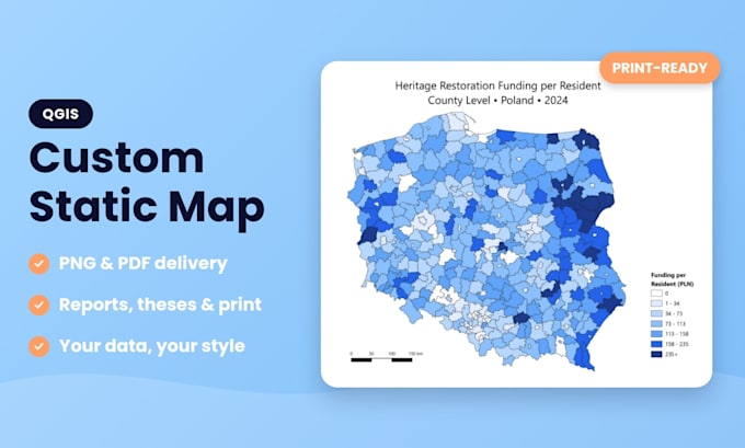
Need a clear, professional map for a report, thesis, presentation or print? I will design a static map in QGIS and deliver it as a high-quality PNG or PDF.
What I do:
Thematic maps from your data (CSV, Excel, shapefile, GeoJSON)
Maps from coordinates or addresses
Clean layout: title, legend, scale bar, north arrow
Custom colors, labels and styling that match your document
Print-ready export on request
What I need from you:
What you get:
Please note: these are static maps (images or PDFs), not interactive web maps. I use open data sources such as OpenStreetMap and Natural Earth with proper attribution when you do not have your own data.
About me: I work with data analysis (Excel, SQL, Power BI) and GIS, so I care about accurate data and a clean, readable result.
Not sure which package fits? Message me with a short description before ordering.
Financial Data Analysis, Power BI Dashboards
Languages
Do you make interactive web maps?
No. I create static maps delivered as PNG or PDF images, ideal for reports, theses, presentations and print. If you need an interactive web map, please message me before ordering.
What data formats can you work with?
I work with CSV and Excel files with coordinates, shapefiles and GeoJSON. If you only have a list of places or a description of the area, message me and I will check what is possible.
I do not have any data. Can you still make the map?
Yes, in many cases. I can use open data sources such as OpenStreetMap and Natural Earth, and I add the required attribution. Just tell me which area and what the map should show.
Can the map be used in print or in my thesis?
Yes. I can export in high resolution (300 DPI) for print, and in the size and language you need. Please tell me the format of your document so the map fits it well.
Can you match the map to my colors or style?
Yes. Send me your preferred colors, fonts or an example of the style you like, and I will adjust the map to fit your document or brand.
What do I need to send to start?
Your data (or a description of the area), what the map should show, and any preferences for colors, language and size. The more details you give, the fewer revisions you will need.