Browse categories
English
$
USD
Connect to your AI

Level 2
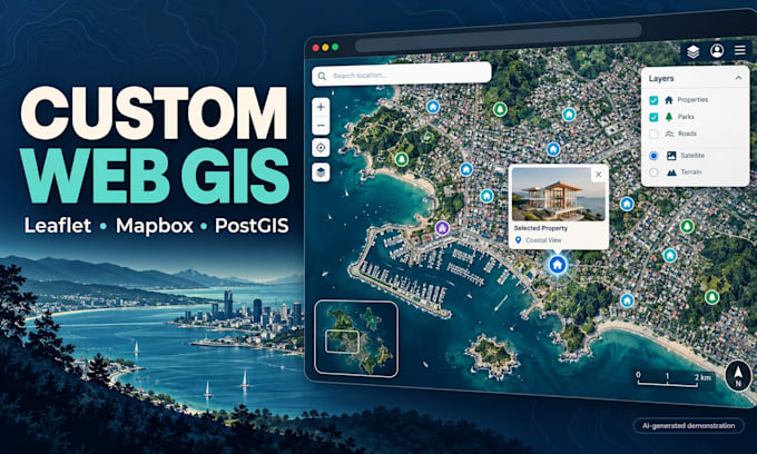
Turn your location data into an interactive web map your users can search and explore. I develop custom Web GIS applications using Leaflet, Mapbox, MapLibre, OpenLayers and PostGIS.
Typical projects include property locators, asset maps, service-area tools and geospatial dashboards. Features can include layer controls, popups, search, filters, drawing tools and spatial databases.
Basic covers one map page with up to 3 supplied, ready-to-use layers, styling, legend and popups. Larger packages cover an agreed feature list; database work, authentication and deployment must be scoped before ordering.
You receive the agreed source code and handover notes. Hosting, map-provider subscriptions, paid APIs and third-party licences are separate client costs. Large datasets require a sample review before performance targets can be agreed.
Send your sample data, required features, existing app details and deadline. I'll recommend a suitable stack and a clear delivery scope.
GIS Analyst and Web GIS Developer, ArcGIS Pro, QGIS, Leaflet, GeoAI
Level 2
Languages
Leaflet, Mapbox or OpenLayers: which should I use?
Leaflet for simple, free maps; Mapbox/MapLibre for smooth vector maps and large data; OpenLayers for advanced OGC (WMS/WFS) work. I will recommend one for your case.
Can you work on my existing map app?
Yes: bug fixes, new features, performance improvements and migrations (for example Google Maps to Mapbox or MapLibre).
Can it handle large datasets?
Yes, subject to data structure and volume. I can use PostGIS, vector tiles and server-side filtering where appropriate. Share a representative sample and expected usage so we can agree the architecture and realistic performance targets.
Do you deploy the application?
Deployment is included only when specified in the package or custom offer, to one agreed environment. Hosting, domains, paid APIs and mapping subscriptions are paid by you. We agree access requirements and handover documentation before starting.
