GIS, Remote Sensing and GeoAI Specialist, PhD Researcher
Pakistan
English, Urdu, French, Turkish, Arabic
About me
GIS, Remote Sensing and Disaster Risk professional with 5+ years of experience in spatial analysis, multi-hazard assessment and decision-support. Currently pursuing a PhD in GIS and Remote Sensing, I contribute to national disaster-risk work in Pakistan.
Services:
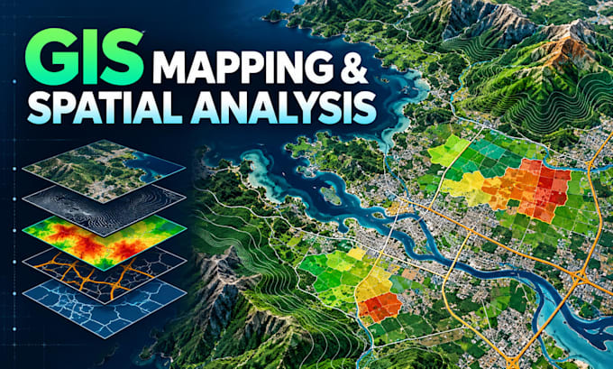
• GIS mapping, spatial analysis and cartography
• Google Earth Engine and satellite processing
• Flood, landslide, GLOF and multi-hazard assessment
• Web GIS portals and interactive dashboards
• Python automation, GeoAI and spatial modelling
I deliver accurate, documented and decision-ready work with clear communication.... Read more