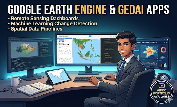
Are you looking to extract actionable intelligence from satellite data or deploy an interactive environmental application? Welcome to your end-to-end Data Driven GeoAI solution.
I am a Geospatial Developer specializing in cloud-based remote sensing, machine learning spatial modeling, and Google Earth Engine (GEE) development.
What This Gig Offers:
You can mix, match, or request complete systems covering these critical domains:
- Urban & Climate Analytics: Land Surface Temperature (LST) extraction for Urban Heat Island (UHI) analysis, and spatiotemporal Air Quality (NO2, SO2, PM2.5) dashboards mapping Sentinel-5P TROPOMI streams.
- Environmental & Resource Monitoring: High-precision automated LULC Change Detection Applications using Random Forest/SVM, and Coastal Erosion & Shoreline Tracking Monitors.
- Disaster & Risk Assessment: Cloud-penetrating Sentinel-1 SAR pipelines for Real-Time Flood Inundation Mapping, and automated bi-weekly Forest Deforestation Alert Systems.
- Precision Agriculture: Integrated Drought Monitoring & Soil Moisture (SMAP/MODIS) Dashboad, alongside machine-learning-driven Crop Health (NDVI/EVI) & Yield Prediction Apps.