1. Preparation of the Survey Map
a. Obtain the Survey Map:
- Physical Map: If you have a paper map, scan it to create a digital image. Use a high-resolution scanner to ensure detail is preserved.
- Digital Map: If you already have a digital file (like a PDF, TIFF, or JPEG), ensure it is clear and of high quality.
b. Clean Up the Image:
- Use image editing software (such as Adobe Photoshop or GIMP) to enhance the clarity of the map. Adjust contrast, remove any distortions, and crop unnecessary parts.
2. Import the Survey Map into AutoCAD
a. For Raster Images:
- Insert the Image:
- Open AutoCAD and use the INSERT command.
- Select the image file and place it into your drawing space.
- Scale and Position:
- Use the SCALE command to adjust the image to the correct size.
- Use known dimensions on the map for accurate scaling.
- Align the image using the ALIGN command if necessary.
b. For Data Files:
- Import the Data:
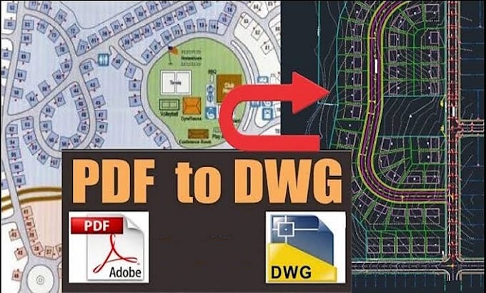
- Use the PDFIMPORT command in AutoCAD.
- Choose the PDF file, and AutoCAD will convert the content into vector data.
- Adjust the Data:
- You may need to clean up and adjust the imported data to match the scale and detail of the original survey.