Browse categories
Explore
Fiverr Pro
English
$
USD


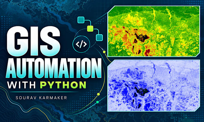
Need a spatial answer or a repeatable GIS workflow? I will perform scoped geospatial analysis or automate your GIS processing using QGIS, ArcGIS Pro or Python.
Examples include buffer and proximity analysis, overlays, spatial joins, zonal statistics, terrain derivatives, raster preparation and batch clipping, reprojection or conversion. Research-oriented workflows can include a documented vegetation index or other agreed descriptive analysis.
Choose one primary objective: an analysis delivery or an automation workflow. Packages scale by input datasets, processing steps and test volume; they do not include every listed method.
You receive the agreed output data, summary tables and documentation. Standard and Premium include reusable code or a notebook. Premium can combine one analytical workflow with its automation.
My background includes GIS analysis, Python data pipelines and PostgreSQL/PostGIS workflows, supported by an MSc and published GIS research.
Please send your question, sample data, software versions and expected outputs before ordering. Complex models and server deployment need a custom scope.
GIS Mapping, Spatial Analysis and Geospatial Automation
Languages
Can I order scientific GIS analysis?
Yes, after agreeing the method, inputs and limits. The packages support defined geospatial workflows; a new research model or statistical validation needs separate technical scope.
Is analysis plus automation included in every tier?
No. Basic and Standard use one primary objective. Premium may automate one agreed analytical workflow within its limits.
What counts as a processing step?
One agreed operation producing an output from one input set. A multi-stage model is not automatically one step because it has one software button.
Are batch files extra datasets?
The dataset cap defines distinct inputs/schemas in the workflow. The test-file cap defines representative batch executions. A new schema or source requires review.
Will it run on my computer?
We agree the target environment and dependencies first. ArcPy requires the buyer to have the necessary ArcGIS licence. Credentials and paid services are not included.
What does a revision cover?
A consolidated adjustment within the approved method, data schema and outputs. New models, inputs or deployment targets require added scope.