Browse categories
Explore
Fiverr Pro
English
$
USD


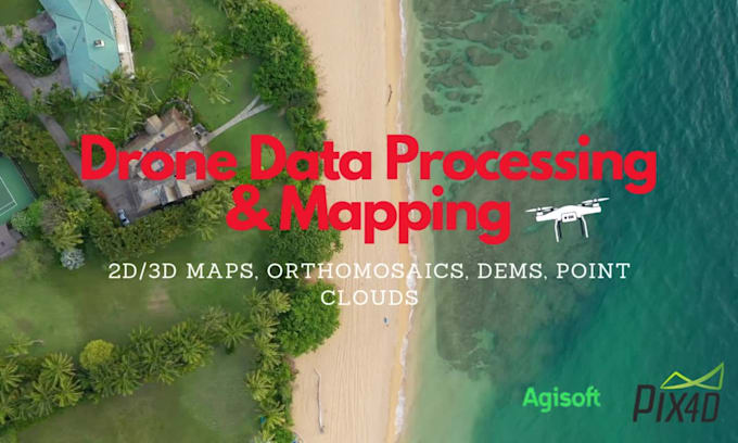
I specialize in transforming raw drone data into high-quality 2D/3D maps, orthomosaics, and digital elevation models (DEMs). Using advanced software like Pix4D, Agisoft Metashape, and Drone2Map, I deliver precise and detailed results for your projects.
What I Offer:
Industries I Serve:
Why Choose Me?
Let's bring your drone data to life! Contact me before ordering to discuss your project requirements.
*********** CONTACT ME BEFORE BUYING**************
Languages
| (1) | ||
| (0) | ||
| (0) | ||
| (0) | ||
| (0) |
dvideos
Repeat Client

United States
Hameedullah nailed this data orthomosaic project! His attention to detail and professionalism exceeded my expectations, while his quick responsiveness and language fluency made collaboration a breeze. Great work indeed—he worked with me to PERFECT the project.
Up to $50
Price
3 days
Duration
| (1) | ||
| (0) | ||
| (0) | ||
| (0) | ||
| (0) |
dvideos
Repeat Client
United States
Hameedullah nailed this data orthomosaic project! His attention to detail and professionalism exceeded my expectations, while his quick responsiveness and language fluency made collaboration a breeze. Great work indeed—he worked with me to PERFECT the project.
Up to $50
Price
3 days
Duration