Browse categories
Explore
Fiverr Pro
English
$
USD


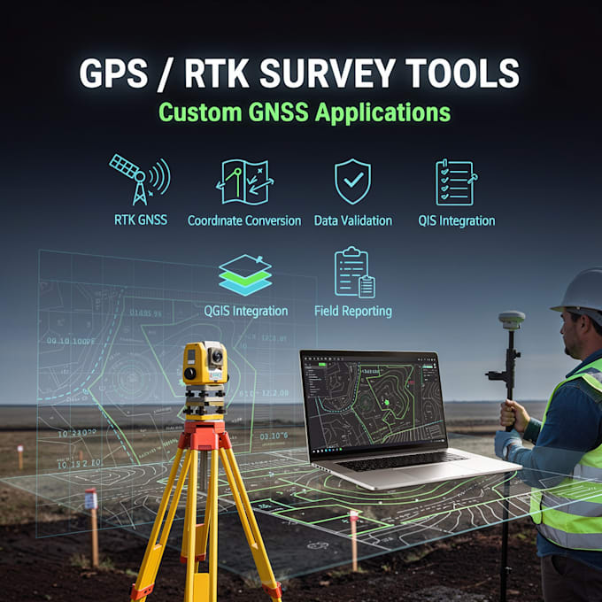
Are you a land surveyor, GIS professional, or engineering firm using GPS / RTK systems and wasting time on manual data processing?
Im a Surveying Engineer specializing in GPS/RTK surveying tools, GNSS data processing, and custom survey applications used in real field environments.
I build reliable, field-tested tools that help you:
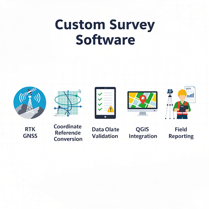
Process RTK/GNSS data accurately
Convert coordinate systems & projections
Automate survey workflows
Reduce field & office errors
Integrate GPS data with QGIS or CAD
What I Can Build
Supported Technologies
Why choose me?
Audio, QGIS, Plugin, Automation, PCB, Proteus
Languages
Can you integrate my existing GPS/RTK device?
Yes! I can connect to Bluetooth or Wi-Fi GPS/RTK devices compatible with Android.
Do you provide the source code?
Yes, full source code is included for all apps.
Can you make the app offline-capable?
Absolutely. All premium apps can work offline and sync later.
How long will it take to deliver?
Depends on the package: Basic: 3–5 days Standard: 7–10 days Premium: 14–21 days