Browse categories
Explore
Fiverr Pro
English
$
USD




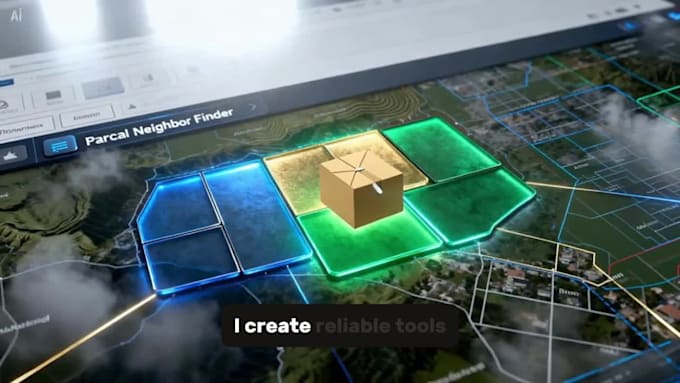
Spending hours on repetitive CAD or GIS work? I build custom tools for surveying and engineering teams.
I am a professional land surveyor studying for an MSc in Surveying Science, with experience in AutoLISP, Python and PyQGIS.
Services:
- Coordinate tables, point labels and parcel schedules
- QGIS road dimensions using pavement and right-of-way layers
- Grid generation, clipping, labels and batch exports
- CAD geometry processing and drafting commands
- CAD-to-GIS conversion and data checks
- Fixing or adapting AutoLISP routines and QGIS plugins
My project experience includes QGIS road dimensioning, KML grid generation and AutoLISP wall-geometry automation.
Please contact me before ordering. Send representative files, your software version, drawing units or CRS, manual steps and expected output. I will confirm feasibility, scope, price and delivery time.
Each order covers the agreed input format, workflow and software version. Checks and deliverables are defined before work starts. Additional formats, interfaces or features require a separate quote.
Survey GIS and CAD Automation Developer
Languages
What information do you need before starting?
Please send representative files, your software version, drawing units or CRS, the manual steps and an example of the required output. Use anonymised sample data where possible.
Can you develop custom QGIS plugins?
Yes. I develop custom PyQGIS plugins with user-friendly interfaces, processing tools, and automation features.
Do you support AutoCAD and ZWCAD?
I work with AutoCAD and ZWCAD workflows. Compatibility depends on the commands and APIs used. Please confirm your exact product and version before ordering so I can assess and test the agreed workflow.
Will I receive the source code?
Yes, unless we agree otherwise before the project starts. The source code is delivered with proper documentation.
Can you fix existing scripts or plugins?
Yes. I can debug, optimize, and add new features to your existing Python scripts, QGIS plugins, or CAD automation tools.
Which file formats do you support?
I work with SHP, GeoPackage, GeoJSON, CSV, DXF, DWG, KML, GPX, Excel, and many other GIS/CAD formats.
Will the tool work with all drawings or datasets?
The tool is developed for the agreed input structure and tested examples. Different layers, units, geometry or formats may need adaptation. Relevant limitations and checks will be documented before delivery.