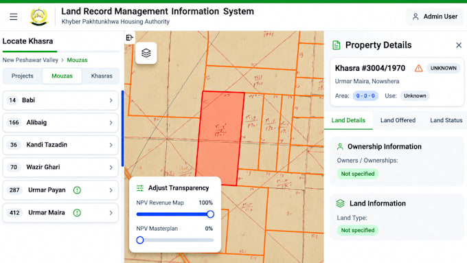
I will create dynamic webgis maps and interactive gis application

S
sulaiman45599
S
sulaiman45599
Sulaiman

About this gig

Need professional GIS maps or interactive WebGIS applications?

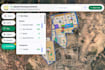
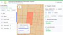
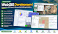
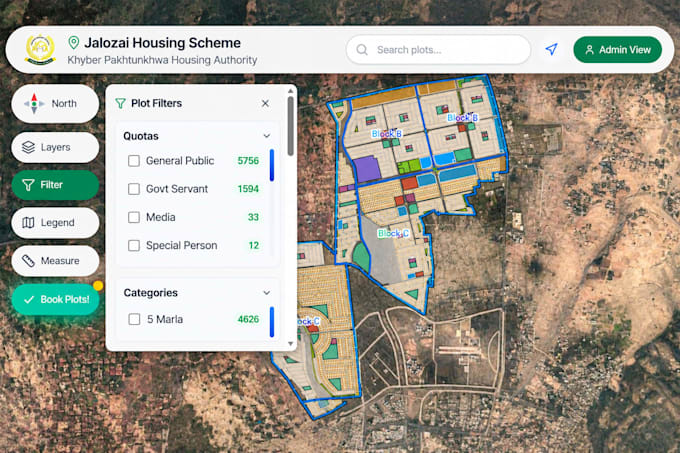
I will develop dynamic, responsive, and user-friendly WebGIS applications tailored to your project requirements.

As a GIS and Remote Sensing specialist, I provide professional geospatial solutions using modern mapping technologies.

My Services:

  • Custom WebGIS Applications
  • Interactive Web Maps and Dashboards
  • GIS Mapping and Spatial Visualization
  • Leaflet, Mapbox, and ArcGIS Online
  • GeoServer (WMS/WFS) Integration
  • Shapefile, GeoJSON, KML, and CSV Integration
  • GIS Layer Control, Search, and Popups
  • PostgreSQL/PostGIS Integration

Technologies: React.js, JavaScript, Leaflet, Mapbox, GeoServer, PostGIS, QGIS, and ArcGIS Pro.

Let's transform your spatial data into powerful interactive maps!

Contact me before placing an order to discuss your project.

Get to know Sulaiman

Sulaiman

WEBGIS and Hydrology Expert

  • FromPakistan
  • Member sinceDec 2020
  • Avg. response time1 hour
  • Languages

    Pashto, Urdu, English, French
I am a GIS and Remote Sensing specialist with expertise in WebGIS development, hydrological modeling, and geospatial analysis. I develop interactive WebGIS applications, dynamic mapping dashboards, and custom web maps using React.js, Leaflet, Mapbox, GeoServer, and PostGIS. My services also include GIS mapping, satellite image analysis, watershed delineation, flood hazard mapping, and hydrological modeling using HEC-RAS, HEC-HMS, and SWAT. I am passionate about transforming geospatial data into meaningful insights and practical solutions.

My Portfolio