Browse categories
English
$
USD
Connect to your AI



Are you looking for accurate GIS mapping, spatial analysis, and AutoCAD-to-GIS conversion for your civil, municipal, or land development projects?
With hands-on experience in municipal infrastructure and public health engineering projects, I provide high-precision mapping services in ArcMap and QGIS:
Services I Offer:
- Converting AutoCAD drawings (.DWG / .DXF) into georeferenced GIS layers
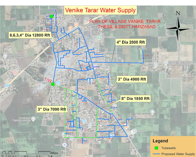
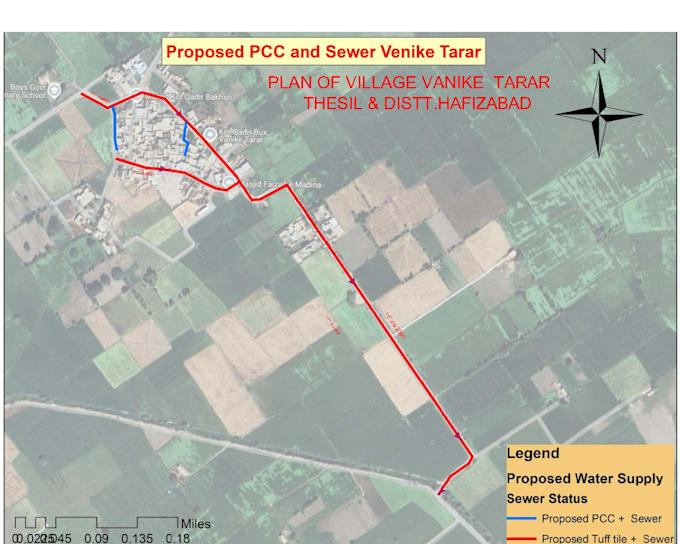
- Street, road, water supply, and sewerage network mapping & digitizing
- Georeferencing satellite imagery and setting accurate UTM coordinate systems
- Shapefile (.shp), KML, GeoJSON, and Geodatabase (.gdb) creation
- Attribute table setup, linear measurements (rft/meters), and Excel quantity integration
- High-resolution, print-ready map layouts (PDF, JPEG, TIFF, PNG) with
AutoCad 2D Drafter , GIS Mapping Specialist
Languages
Whuch GIS software and file formats do you support?
I work with ArcGIS (ArcMap), QGIS, and Google Earth Pro. I can deliver Shapefiles (.shp), Geodatabases, KML/KMZ, GeoJSON, AutoCAD (.dwg), and high-resolution PDF or JPEG map layouts.
Can you digitize maps from scanned images, PDFs, or satellite imagery
Yes, I can georeference scanned maps or PDFs and accurately digitize points, polylines, and polygons (such as roads, pipelines, boundaries, and infrastructure networks) with structured attribute tables.
What information do you need from me to start the project?
Please provide your study area location or coordinates, any existing spatial data, PDFs, or reference sketches, and a brief description of the required map layers and output format.