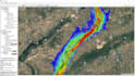
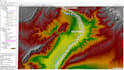
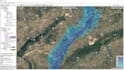
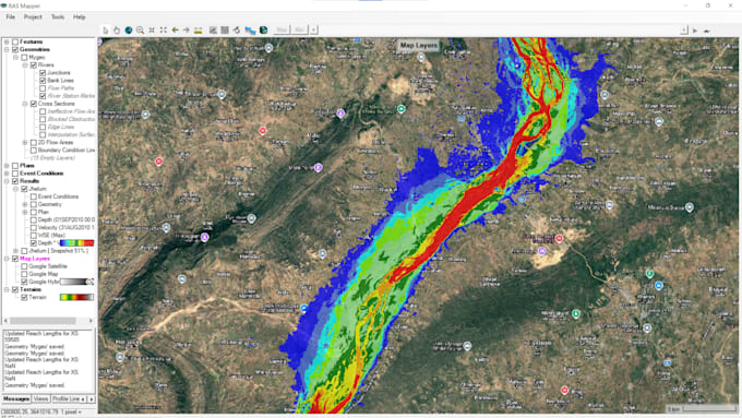
I specialize in HEC-RAS hydraulic modeling, turning raw terrain and flow data into clear, defensible flood risk results: floodplain maps, dam breach analyses, and flash flood simulations you can actually hand to a client, planner, or review board.
Services I Offer in This Gig:
- Floodplain Mapping & Inundation Analysis
- 1D Steady & Unsteady Flow Modeling
- Bridge & Culvert Hydraulic Modeling
- Water Surface Profile Development
- Downstream Impact & Arrival Time Analysis
Software:
HEC-RAS | RAS Mapper | AutoCAD Civil 3D | ArcGIS Pro
What You'll Receive:
- Water surface profile plots & cross-section analysis
- Flood extent / inundation maps
- Peak discharge, depth & velocity summary tables
- A clean, professional report methodology, results, and recommendations, ready to use or present
What Client Provides:
- Study area / river reach location
- Terrain data (DEM) if you have it otherwise I can source public data (SRTM/ALOS)
- Flow data discharge value, rainfall data, or design return period
- Any structures in the reach (bridges, culverts, dam location if applicable)
- Survey cross-sections, (if not available I can work from terrain data)
Why Hire me?
Accurate,Well documented and Fastest and Cheapest Results