Browse categories
Explore
Fiverr Pro
English
$
USD



_urcaeq.jpg)
About This Gig:
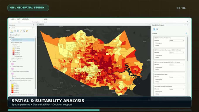
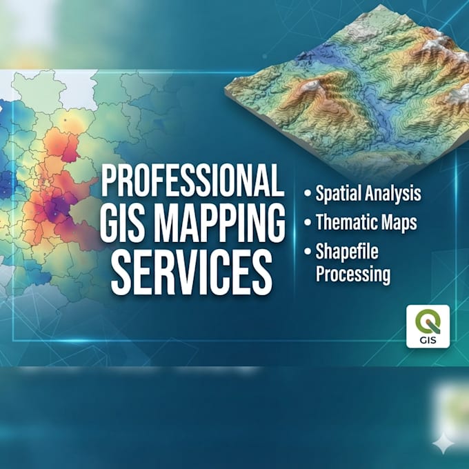
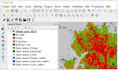
Welcome to Runali-S! I provide professional GIS mapping services using QGIS, transforming geospatial data into accurate, clear, and visually appealing maps.
Services Provided:
Why Choose My Services?
Process:
Please inform the freelancer of any preferences or concerns regarding the use of AI tools in the completion and/or delivery of your order.
Python and Networking Specialist and UML Designer and Comic Writer and GIS Map
Languages
What GIS services do you provide?
I provide GIS mapping, thematic mapping, spatial analysis, georeferencing, digitization, and map visualization.
Which software do you use?
I primarily use QGIS for GIS mapping and spatial analysis.
Which file formats do you accept?
I accept SHP, KML, GeoJSON, CSV, and GeoTIFF files.
Can you create custom GIS maps?
Yes, I create customized GIS maps based on your requirements.
Do you provide editable source files?
Yes, editable QGIS project files are available as per the selected package.
What do you need to start the project?
I need your GIS data, project details, study area, and expected output.
Do you offer revisions?
Yes, revisions are included according to the selected package.
Can you handle urgent GIS projects?
Yes, depending on project complexity and availability. Please contact me first.