t
teshomegis

Teshome Talema

@teshomegis

GIS and Remote Sensing Specialist, Spatial Data Analyst, ArcGIS QGIS and GEE

Ethiopia
English
About me
I am a GIS and Remote Sensing Specialist skilled in spatial data analysis, GIS mapping, and satellite image processing. I work with ArcGIS, QGIS, Google Earth Engine, ERDAS IMAGINE, and ENVI. My services include land use classification, change detection, DEM and watershed analysis, suitability modeling, and cartographic visualization. I deliver accurate, reliable, and timely geospatial solutions for research and industry applications.... Read more

Skills

t
teshomegis
Teshome Talema
Offline • 
Average response time: 1 hour

See my services

Geographic Information Systems (GIS)
I will create professional gis maps using arcgis and qgis
Geographic Information Systems (GIS)
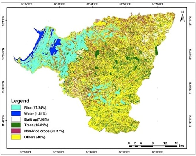
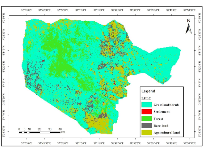
I will do satellite image processing and land cover classification using gee

Portfolio

Work experience

GIS and Remote Sensing Consultant

Private Site • Freelance

Aug 2018 - Present7 yrs 11 mos

Providing professional GIS mapping, remote sensing analysis, and hydrological modeling services for research and academic projects. Specialized in land use land cover classification using Sentinel-2 and Landsat imagery, watershed delineation, and rainfall-runoff modeling using HEC-HMS. Proficient in ArcGIS, QGIS, Google Earth Engine, ERDAS Imagine, and ENVI.