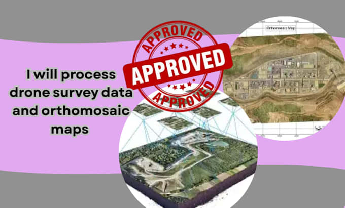
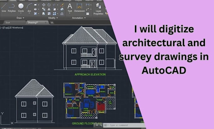
Civil Engineer & Professional Survey Drafting Expert specializing in land survey drafting, AutoCAD site plans, drone survey processing, orthomosaic maps, DEM/DSM modeling, contour maps, and permit site plans. I deliver accurate PDF to AutoCAD conversion, topographic maps, GIS mapping, and construction-ready drawings with fast turnaround and high precision. Skilled in AutoCAD Civil 3D, drone mapping, and survey data processing for contractors, architects, developers, and real estate projects. Quality work, clear communication, and client satisfaction are my priority.... Read more