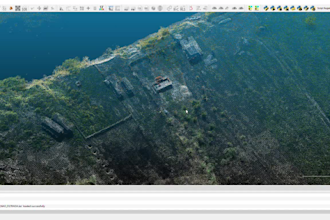
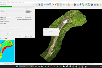
I will process DJI Zenmuse L1 L2 LiDAR data into LAS DTM and DSM
Brazil
English
About me
Do you have DJI Zenmuse L1 or L2 LiDAR data that needs to be processed into professional mapping and surveying products?
I can process your raw DJI LiDAR data and deliver high-quality point clouds and terrain products ready for GIS, surveying, engineering, and further analysis.
I work with DJI Zenmuse L1/L2 data and can process projects using DJI Terra and complementary point-cloud/GIS software.... Read more