Browse categories
Explore
Fiverr Pro
English
$
USD

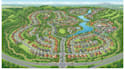
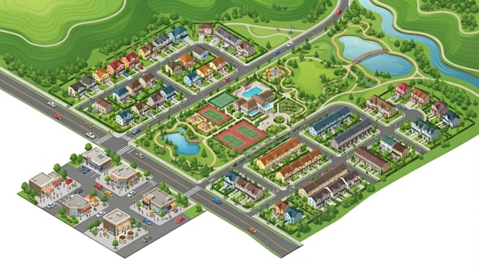
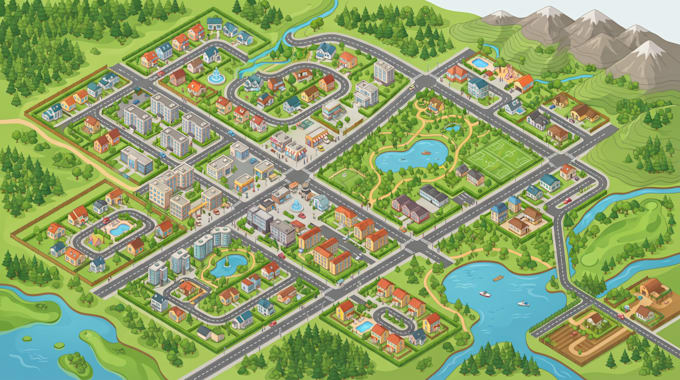
Is your property information scattered, boundaries unclear, terrain difficult to interpret, or your map failing to communicate what matters?
I turn raw location data into precise, intelligible maps built around the decision you need to make.
I can create:
Why work with me?
You receive:
Don't settle for a map that merely looks good. Send your data, parcel, location, sketch, or requirements, and I'll transform it into a clear, actionable map that makes your property, terrain, or spatial information easier to understand.
Message me to get started.
Please inform the freelancer of any preferences or concerns regarding the use of AI tools in the completion and/or delivery of your order.
Cartographic and Map designer
Languages
Will I receive only an image, or can I get the working GIS file?
You can receive high-resolution PDF/PNG/JPG outputs, and editable GIS project/source files can be included when required. I can also organize layers and supporting spatial data so the work remains useful beyond a single exported image.
What if I need changes after seeing the first version?
Your feedback is part of the process. I'll refine labels, boundaries, layers, styling, hierarchy, annotations, and layout according to the agreed requirements so the final map communicates the intended information clearly.
How do I know the map will be technically usable?
I build maps with scale, projection, labels, layers, symbology, legends, and spatial relationships in mind, not just visual appearance. The final output is structured around whether you need it for presentation, planning, analysis, property communication, or another defined purpose.
What if my property boundaries or location data are inaccurate?
I don't blindly trace what I'm given. I review the available spatial information, coordinate references, parcel data, and supporting files before building the map. If something appears inconsistent, I'll flag it rather than quietly produce a misleading result.
I only have a sketch, screenshot, PDF, or rough data. Can you work with it?
Yes. I can work from surveys, PDFs, screenshots, CAD/GIS files, spreadsheets, coordinates, satellite imagery, or rough references. I'll determine what can reliably be extracted and what information may still be required.