Browse categories
Explore
Fiverr Pro
English
$
USD
I will do GIS mapping, land cover classification and environmental spatial analy
GIS MAPPING & ENVIRONMENTAL SPATIAL ANALYSIS
Working on EIA, ESIA, biodiversity assessment or ecological research? I deliver research-quality GIS outputs not AI templates.
MPhil Zoology (CGPA 4.00/4.00) | 2 peer-reviewed publications | NASA ARSET certified
SERVICES
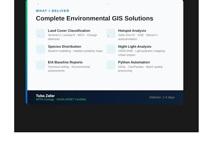
️ Land Cover Classification Sentinel-2, Landsat 8, NDVI, change detection
Hotspot Analysis Getis-Ord Gi*, KDE, Moran I autocorrelation
Species Distribution MaxEnt habitat suitability for EIA ESIA
Night Light Mapping VIIRS-DNB, light pollution, urban impact
EIA ESIA Baseline Reports technical writing, impact assessment
️ Python GIS Automation GDAL, GeoPandas, raster batch processing
WHY ME
MPhil 4.00 CGPA Perfect Score
2 International Publications First Author
NASA ARSET Remote Sensing Certified
IFC PS6 Biodiversity trained
8-site environmental field experience
Research quality not generic templates
DELIVERABLES
High resolution maps PDF and PNG
Written methodology section
Revisions until satisfied
Reply within 1 hour
Message me before ordering with your project type, study area, data available and outputs needed.


What information do I need to provide to get started?
Please share your project type (EIA, ESIA, research), study area location and size, any data you already have (satellite imagery, shapefiles, survey data), and the specific outputs you need. The more detail you provide, the better I can tailor the analysis to your project.
What software do you use for GIS mapping?
I use ArcGIS Pro, QGIS, and Python (GDAL, GeoPandas, Rasterio) for all spatial analysis. For species distribution modelling I use MaxEnt. For statistical analysis I use R and SPSS. All outputs are delivered in high-resolution PDF, PNG, or shapefile format as needed.
Can you help with EIA and ESIA baseline reports?
Yes. I have 2 years of experience in environmental baseline studies across 8 field sites — biodiversity surveys, habitat mapping, land cover classification, and technical report writing. I can deliver GIS outputs and written baseline sections for EIA and ESIA projects.
What satellite data do you work with?
I work with Sentinel-2 multispectral imagery, Landsat 8 and 9, and VIIRS-DNB night-time light data. I can perform land cover classification, NDVI vegetation analysis, change detection, and light pollution mapping. Data is sourced from NASA EarthData, USGS Earth Explorer, and ESA Copernicus platforms
Do you offer revisions if I am not satisfied?
Yes — Basic package includes 1 revision, Standard includes 3 revisions, and Premium includes unlimited revisions. I aim to get it right first time by discussing your requirements thoroughly before starting. I respond within 1 hour and keep you updated throughout the project.