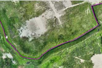
I led an integrated geospatial survey project that combined field data collection, drone operation, RTK positioning, LiDAR scanning, and GIS data processing to produce high-accuracy maps. Ground control points were established with RTK GNSS receivers, while drones equipped with RGB cameras and LiDAR sensors captured aerial imagery and point clouds. These outputs were integrated into GIS software for spatial analysis, land cover classification, and infrastructure mapping. Finally, high-resolution printed maps, enabling stakeholders to make informed decisions based on precise geospatial.... Read more