Browse categories
Explore
Fiverr Pro
English
$
USD
Experienced Water Resources Engineer, Climate Change, GIS Expert
Level 1
Has met certain performance criteria and shows strong potential in the marketplace.
Need expert satellite data analysis for climate, hydrology, agriculture, or environmental projects? I provide professional geospatial analysis using industry-standard satellite and climate datasets to deliver accurate insights and high-quality maps.
Datasets
ERA5, CHIRPS, GPM, PDIR, NOAA RFE
Landsat & Sentinel-1/2
SRTM, ALOS & Copernicus GLO30 DEMs
Services
Climate & Environmental Analysis
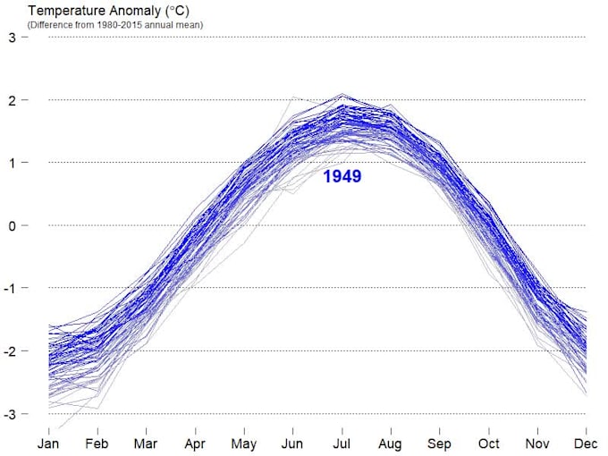
Rainfall & temperature trend analysis
Climate variability and drought assessment
Historical and future climate data analysis
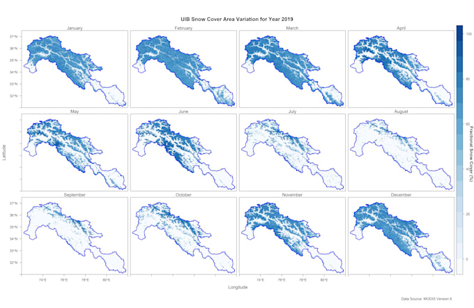
Agriculture & Vegetation Monitoring
NDVI, NDWI & vegetation indices
Land Use/Land Cover (LULC) mapping
Change detection and crop monitoring
Hydrology & Terrain Analysis
Watershed delineation
DEM processing and terrain analysis
Drainage network extraction
Flood risk and runoff assessment
️ GIS Mapping & Visualization
Thematic maps and dashboards
Time-series analysis
Custom geospatial products
Perfect for researchers, engineers, consultants, NGOs, and government agencies.
Contact me before ordering to discuss your project requirements.


What type of satellite data can you analyze?
I work with multiple satellite datasets including Landsat, Sentinel, MODIS, SRTM, CHIRPS, ERA5, PDIR, RFE, GPM, IMERG and others. I can extract climate variables, land cover, vegetation indices (NDVI, EVI), rainfall, temperature, snow cover, and more based on your specific needs.
Can you perform GIS analysis for any location?
Yes, I can perform GIS and satellite-based climate analysis globally. You just need to provide the region of interest (ROI) in coordinates, shapefile, or even just a place name.
What climatic parameters can you analyze?
I can analyze rainfall, temperature, evapotranspiration, snow cover, vegetation changes, drought indices (e.g., SPI), flood risk, and other climate indicators using remote sensing and GIS tools.
Which tools or software do you use for analysis?
I use a combination of GIS and remote sensing platforms including Google Earth Engine, ArcGIS, QGIS, Python, and R, depending on the complexity and scope of the project.
Can you provide both raw data and visual maps?
Absolutely! I can deliver raw data (CSV, GeoTIFF, shapefile) along with visual outputs such as maps, graphs, and analytical summaries in PDF or PowerPoint formats.
Do you offer custom climatic or environmental studies?
Yes, I offer tailored studies based on specific climate phenomena, including flood mapping, drought assessment, climate change impacts, land use/land cover change, and more. Just message me with your requirements.
Is this service suitable for academic or research projects?
Yes! I’ve supported many clients with academic thesis, research publications, and reports using high-quality satellite-based climate analysis.
How much input do I need to provide?
You need to specify your area of interest, the parameters you want analyzed (e.g., rainfall, temperature), time period (e.g., 1950–2025 or any), and intended output. I can help guide you if you're unsure.
Can you analyze climate trends or future projections?
Yes, I can analyze historical trends and, if needed, integrate climate model outputs (e.g., CMIP5, CMIP6, CORDEX) for future climate scenarios under RCP or SSP pathways.
What if I need a long-term or bulk project?
For bulk analysis or ongoing collaboration, please message me. I offer custom pricing and delivery plans for long-term clients and large-scale datasets.