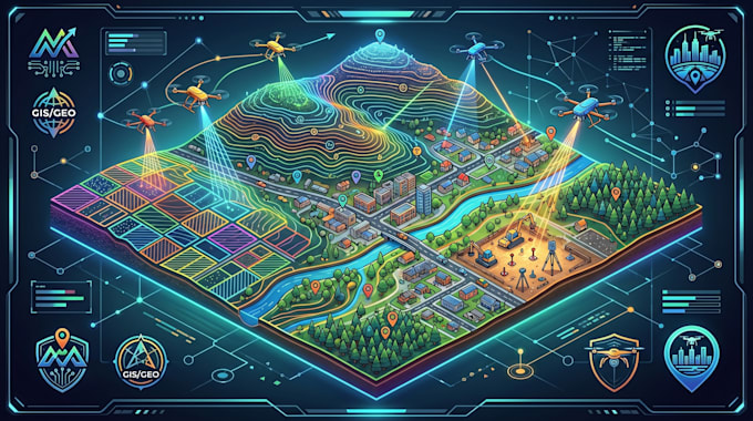
I am a GIS and Photogrammetry Specialist with expertise in GIS mapping, drone mapping, orthophoto processing, contour mapping, cadastral mapping, and remote sensing. I create accurate, high-quality geospatial solutions for engineering, construction, surveying, agriculture, mining, and urban planning projects. Skilled in ArcGIS, QGIS, photogrammetry workflows, orthomosaic generation, DEM/DSM creation, and spatial analysis, I deliver professional maps and data-driven insights. My focus is accuracy, timely delivery, clear communication, and client satisfaction.
... Read more