Browse categories
Explore
Fiverr Pro
English
$
USD


Greetings,
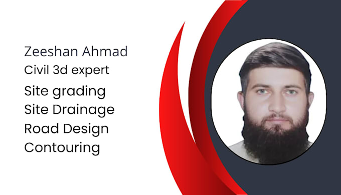
My name is Zeeshan Ahmad, and I provide professional Civil 3D and earthwork modeling services .
Services Offered
What I Need from You
Simply provide your survey data files, and I will take care of the rest.
Why Work With Me?
The best time to start your project is now.
Please review my sample work and feel free to send me a message. I will respond as soon as possible and discuss your project requirements in detail.
Thank you for your time and consideration.
Best Regards,
Zeeshan Ahmad
Please inform the freelancer of any preferences or concerns regarding the use of AI tools in the completion and/or delivery of your order.
Languages
what do you need for starting a site grading project
To grade a site in Civil 3D, I need an Existing Ground (EG) surface built from survey points, alongside 3D Feature Lines representing your proposed elevations like building pads or curbs. You then apply Grading Criteria (specified cut/fill slopes) to dynamically project those lines until they tie