Browse categories
Explore
Fiverr Pro
English
$
USD
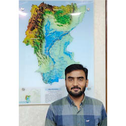


I provide professional GIS and remote sensing services for research, planning, and environmental projects. With extensive experience in GIS mapping, spatial analysis, and satellite data processing, I transform raw data into accurate, decision-ready maps.
I have worked on groundwater assessment, flood hazard mapping, river analysis, land use/land cover mapping, and environmental monitoring projects using ArcGIS, QGIS, and Google Earth Engine. My services include GIS mapping, spatial analysis, remote sensing analysis, and custom map production for research, consulting, and planning.
I am committed to clear communication, accurate results, and on-time delivery.
Please contact me before placing an order to discuss your project requirements.
Hydrologist and GIS Remote Sensing Specialist
Languages
Question: Will my project data remain confidential?
Answer: Yes. All files, datasets, and project information are kept strictly confidential and will never be shared with third parties.
Questio: What file formats can you work with?
Answer: I work with Shapefiles (SHP), GeoJSON, KML/KMZ, CSV, Excel, GeoTIFF, raster data, DEMs, and many other GIS formats.
Question: What software do you use?
Answer: I primarily use ArcGIS Pro, QGIS, Google Earth Engine, and Python for GIS and remote sensing analysis.
Question: What will I receive after the project is completed?
Answer: Depending on your requirements, you'll receive editable GIS files, map layouts, high-resolution PNG/PDF maps, reports, or spatial datasets.


