Browse categories
Explore
Fiverr Pro
English
$
USD



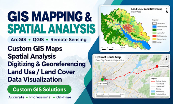
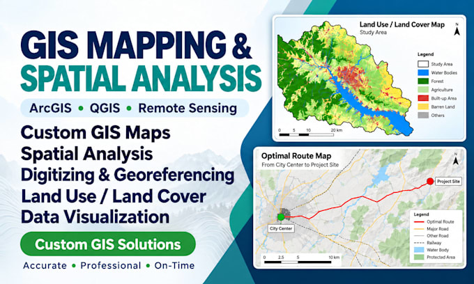
Need GIS maps that make your spatial data clear, accurate, and ready to use?
I create professional GIS maps and practical spatial analysis using ArcGIS and QGIS, tailored to your project goals.
MY SERVICES
WHAT YOU WILL RECEIVE
WHY CHOOSE ME?
Ready to turn your data into meaningful maps? Message me with your area, data and goals for a tailored quote, or choose a package and get started!
REMOTE SENSING AND GIS EXPERT
Languages
What GIS mapping and spatial analysis services do you provide?
I provide GIS mapping, thematic map design, spatial analysis, digitizing, georeferencing, land use/land cover mapping, remote sensing, and location-based analysis using ArcGIS and QGIS. Contact me to discuss any specialized requirements.
Which GIS software do you use?
I primarily use ArcGIS and QGIS. I select the most suitable tools and workflows based on your data, project objectives, and required deliverables.
What if I don't have GIS data for my project?
I can help identify relevant publicly available geospatial datasets. Please share your study area and objectives first, as data availability, licensing, and preparation may affect the cost.
Which file formats do you accept?
I work with common formats such as SHP, GeoPackage, GeoJSON, KML, CSV, GeoTIFF, PDF, and compatible coordinate data. Please confirm your file format before ordering.
Can you perform land use/land cover classification and remote sensing analysis?
Yes. I can help with satellite image processing, classification, land use/land cover analysis, and thematic mapping. Pricing depends on the study area, available imagery, and analysis complexity.
Can you provide editable GIS project files?
Yes. Editable GIS layers and project files are included in the Premium package. They can also be added to other packages at an additional cost.
How do I choose the right package for my project?
Basic is suitable for a single GIS map, Standard adds spatial analysis and additional mapping, while Premium covers a broader GIS task with editable files. Message me for help selecting the right package.
Can you handle large study areas or multiple GIS maps?
Yes, depending on the data volume, analysis requirements, and project complexity. Large or specialized projects may require a custom offer and an adjusted delivery schedule.
Are revisions included in your GIS mapping services?
Yes. Each package includes the stated number of revisions for adjustments within the original agreed scope. Additional analysis or major changes to project objectives may require a separate quote.
How do you ensure map quality and timely delivery?
I review coordinate systems, spatial data consistency, cartographic presentation, and requested outputs. I also establish a realistic delivery schedule based on the project requirements and communicate any issues promptly.