Browse categories
Explore
Fiverr Pro
English
$
USD
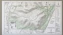
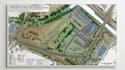
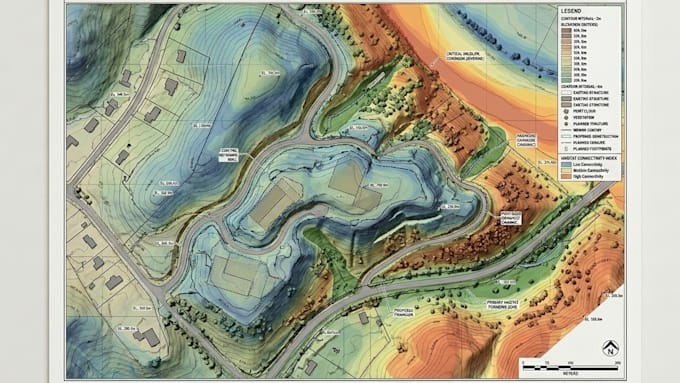
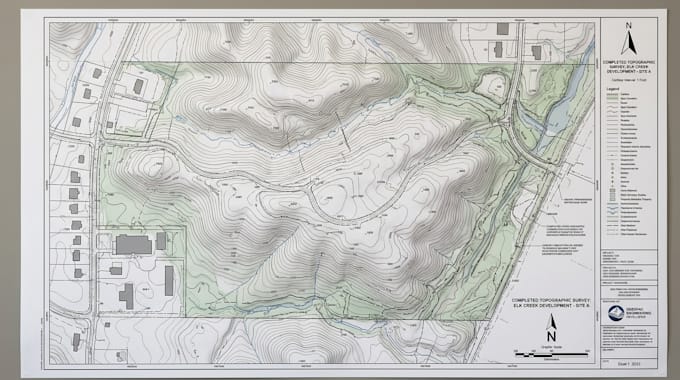
Raw LiDAR data is powerful, but without proper processing it can remain a dense cloud of points instead of useful terrain information.
I process LiDAR point clouds into clean 3D models, DEM, DSM, and topographic maps that help reveal terrain, elevation, structures, and site conditions.
Why you may need this:
I can provide:
Why choose me?
Have LiDAR or point cloud data that needs to become usable terrain information? Send your dataset and project requirements, and lets turn the raw scan into accurate elevation models and professional topographic mapping.
Please inform the freelancer of any preferences or concerns regarding the use of AI tools in the completion and/or delivery of your order.
GIS Geospatial Consultant And Mapping Spatial Analysis
Languages