Browse categories
Explore
Fiverr Pro
English
$
USD
Drone Imagery Processing and GIS Expert
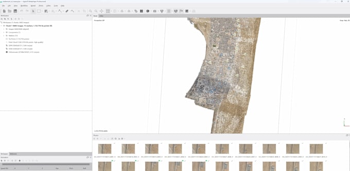
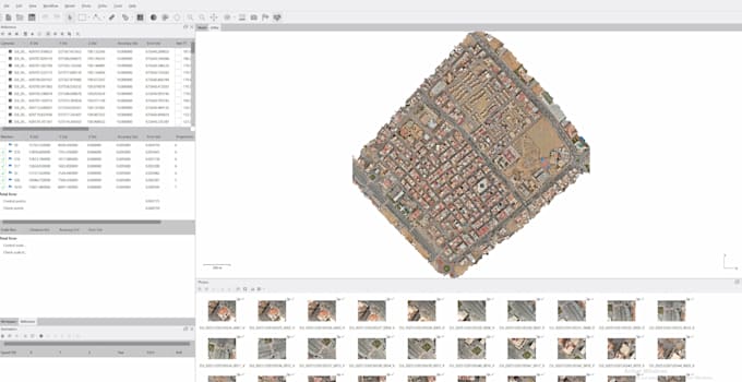
I will process your drone imagery using Agisoft Metashape to deliver accurate, GIS-ready outputs suitable for mapping, analysis, and visualization.
The processing workflow includes image alignment, dense point cloud generation, reconstruction optimization, and quality control to ensure reliable and clean results. Depending on the project needs, deliverables may include orthomosaics, DEMs, point clouds, and 3D models in standard formats compatible with QGIS, ArcGIS, CAD, and visualization or AI workflows.
I work with both nadir and oblique drone imagery and handle projects in local or georeferenced coordinate systems. Each dataset is reviewed before processing to ensure appropriate delivery time and correct handling, especially for large image sets or complex scenes.
Please note that project size and complexity can impact processing time. Large datasets may require additional time or a custom offer to guarantee quality results.
If you are unsure about your dataset or requirements, feel free to contact me before ordering. Clear communication and professional delivery are guaranteed.